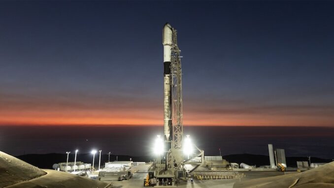
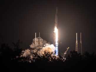
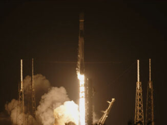
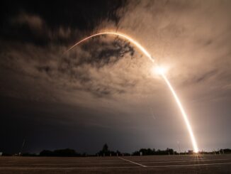
Spaceflight Now: Mission Report

NOAA-L continues environmental observations
NASA FACT SHEET
Posted: Sept. 19, 2000

  NOAA-L
The NOAA-L satellite undergoing final pre-launch preps at Vandenberg Air Force Base, Calif. Photo: Lockheed Martin
 
NASA will launch and activate the NOAA-L spacecraft, the latest in a series of polar-orbiting spacecraft that provide environmental observations for the National Oceanic and Atmospheric Administration (NOAA). Part of an active NASA-NOAA cooperative program, the NOAA satellites carry instruments that observe the Earth and provide global data for NOAA's operational user requirements including short- and long-range weather forecasts. The operational system consists of two polar-orbiting satellites.

NOAA-L is the latest in the series of advanced TIROS-N spacecraft that provide a platform to support the environmental monitoring instruments for imaging and measuring the Earth's atmosphere, its surface and cloud cover. The polar-orbiting spacecraft serve as complementary satellites to the geosynchronous Geostationary Operational Environmental Satellites (GOES) system. Whereas the GOES satellites provide near-term data for the continental United States and Hawaii to NOAA's forecasters, the polar-orbiting spacecraft provide full global data for short- and long-range forecast models, climate modeling and various other secondary missions.

Instruments on board the spacecraft monitor the entire Earth, providing atmospheric measurements of temperature, humidity, ozone and cloud images as they track weather patterns that affect global weather and climate. The satellites send millions of global measurements daily to NOAA's Command and Data Acquisition stations in Fairbanks, Alaska and Wallops Island, Va., and data processing center in Suitland, Md. These measurements add valuable information to forecasting models, especially for ocean areas, where conventional ground-based data is lacking. The spacecraft also provides a platform for the Search and Rescue Satellite Aided Tracking system, part of the COSPAS-SARSAT constellation. This international search and rescue system detects and locates emergency beacons transmitted from ships, aircraft and people in distress and has aided in saving thousands of lives.

NOAA-L
An artist's concept of NOAA-L orbiting Earth. Photo: NASA/NOAA
 
NOAA-L forms one of a pair of orbiting operational satellites that ensure that environmental data for any region of the Earth is no more than six hours old. With its partner satellite, NOAA-L not only provides cost-effective data for very immediate and real needs but also for extensive climate and research programs. The weather data, including images that are often seen on television news programs, affords both convenience and safety to viewers throughout the world.

NOAA-L will be launched aboard a Titan 2 expendable space launch vehicle from Vandenberg Air Force Base, Calif. The 10-minute launch window opens at 3:22 a.m. PDT. Separation of the spacecraft from its launch vehicle will occur about 394 seconds after launch.

NOAA-L facts  
Main body 13.75 feet long
6.2 feet diameter
Solar Array 8.96 by 20.16 feet
Weight at liftoff 4,920 pounds
Orbit 470 miles,
inclined 98.74 deg.
Design life At least 2 years
Satellite Cost $156.4 million
Source: NASA press kit
In its final orbital position, which is at an altitude of approximately 470 nautical miles (870 kilometers) above the Earth, it will travel in a Sun-synchronous orbit at a 99-degree inclination toward the equator. The term "Sun-synchronous" means that while the satellite orbits around the Earth, the orbit also "precesses" (rotates) eastward about the Earth's polar axis almost 1 degree per day, the same rate and direction as the Earth's average daily rotation about the Sun. This precession keeps the satellite in a constant position with reference to the Sun so that it is illuminated consistently throughout the year and so that ideally the scene and spacecraft illumination conditions repeat on a yearly cycle. The spacecraft will be launched so that it crosses the Equator at about 2:00 p.m. when travelling northbound (which gives it the designation of an "afternoon" or "p.m." satellite) and 2:00 a.m. when travelling southbound. NOAA-L takes about 102 minutes to complete one orbit around the Earth. NOAA-L will join its "a.m." spacecraft, NOAA-15, which was launched May 13, 1998.

The spacecraft was built by Lockheed Martin Space Systems Company. The instruments onboard NOAA-L include the Advanced Very High Resolution Radiometer (AVHRR/3), the High Resolution Infrared Radiation Sounder (HIRS/3), the Advanced Microwave Sounding Unit-A (AMSU-A1, A2), the AMSU-B, the Solar Backscatter Ultraviolet Radiometer (SBUV/2), the Space Environment Monitor (SEM/2) and the Data Collection System (DCS/2). In addition, it carries two search and rescue instruments, the Search and Rescue Repeater (SARR) and the Search and Rescue Processor (SARP).

The AVHRR/3 is the primary imaging system and consists of visible, near infrared (IR) and thermal IR channels. The primary sounding suite flying on NOAA-L is the HIRS/3, AMSU-A and AMSU-B, which measure atmospheric temperature and humidity. The SBUV/2 instrument is both an imager and a sounder. As an imager, it produces total column ozone maps. As a sounder, it obtains and measures the ozone distribution in the atmosphere as a function of altitude.

Flight data file
Vehicle: Titan 2 (G-13)
Payload: NOAA-L
Launch date: Sept. 20, 2000
Launch window: 1022-1032 GMT (6:22-6:32 a.m. EDT)
Launch site: SLC-4W, Vandenberg AFB, Calif.

Pre-launch briefing
Launch timeline - Chart with times and descriptions of events to occur during the launch.

Titan 2 - Description of the former ICBM missile converted to a space launch vehicle.


MISSION STATUS CENTER